A City of Many Neighborhoods
Did you know? Paris has 80 administrative neighborhoods, with four in each of its 20 arrondissements. In addition, many historical and popular areas, such as Montmartre and Pigalle, are commonly referred to as neighborhoods even though their boundaries do not necessarily follow the official administrative divisions.
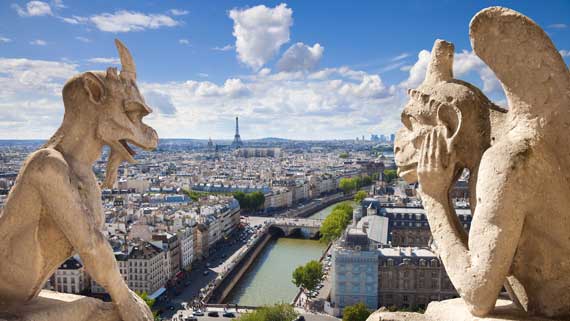
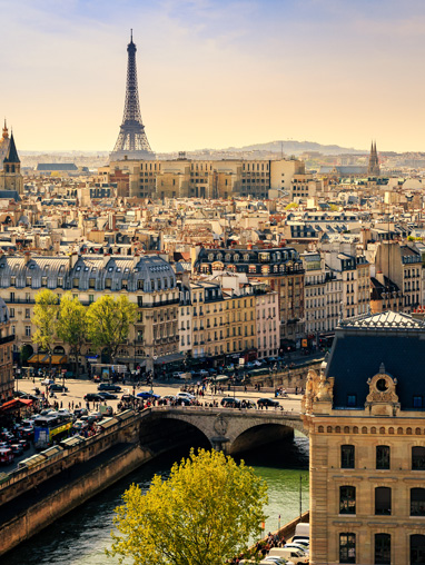
At the heart of Paris lies the Île de la Cité, one of the city's oldest urban areas, inhabited since ancient times.
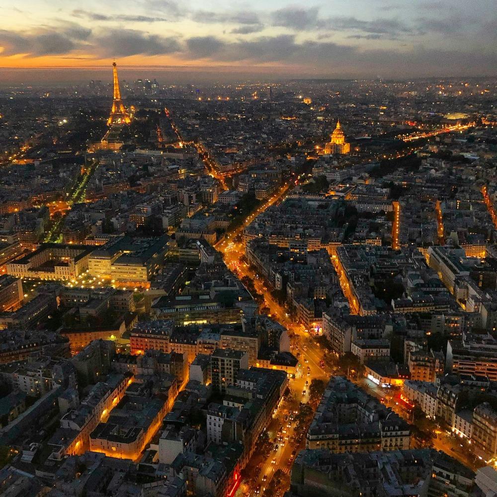
A map of Paris neighborhoods makes it easy to locate the city's main areas and understand how they fit together. What can initially seem like a maze of streets quickly becomes clearer, with the Seine running through the city and providing a useful landmark between different neighborhoods.
Historic Paris Neighborhoods to Explore
The map also helps you locate some of the French capital's most historic districts and areas: Palais-Royal, a former royal residence and an important part of Parisian history; the narrow streets of the Marais; the Latin Quarter, associated with university life since the Middle Ages; and Quinze-Vingts, whose name originates from the hospice founded by King Louis IX in the 13th century.
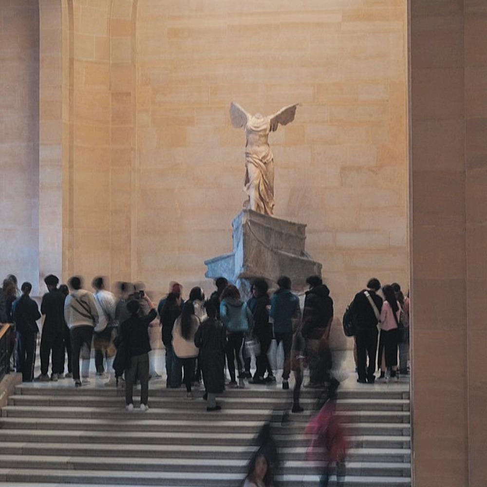
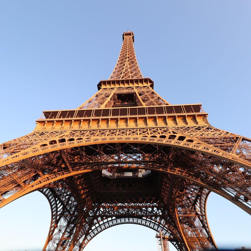
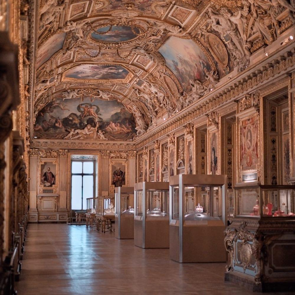
Seeing these areas side by side makes it easier to find your way around and plan your visits to major attractions, from the Louvre Museum to the Eiffel Tower. You can also experience the city from a different perspective with a cruise along the Seine.
Each neighborhood tells a different chapter of the city's history. Exploring them on foot remains one of the best ways to appreciate how the architecture and atmosphere change from one street to the next.
Two Banks, Two Different Atmospheres
Paris is crossed by the Seine, which traditionally divides the city into the Right Bank, to the north, and the Left Bank, to the south. This distinction goes far beyond geography.
The Right Bank has historically been associated with commerce, grand boulevards and centers of power, while the Left Bank is famous for its universities, publishing houses and literary cafés.
A good map makes this layout immediately clear and helps you choose which neighborhoods to explore depending on how much time you have. Crossing from one bank to the other over one of Paris's many bridges is also part of the experience of discovering the city.
From the Asian Quarter to Montmartre
In southern Paris, the Asian Quarter in the 13th arrondissement reveals another side of the city, particularly around Avenue de Choisy, Avenue d'Ivry and the Olympiades area. Its restaurants, shops and markets reflect the cultural diversity of this part of Paris.
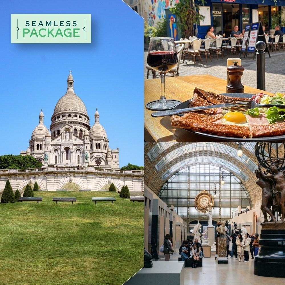
Head north and the atmosphere changes completely in Montmartre. Its sloping streets, small squares and the Sacré-Cœur Basilica still evoke the area's former village character, while the hill offers some beautiful views over Paris.
Only a few Metro stops separate these two very different areas, making them perfect examples of the diversity of Paris neighborhoods.